Free delivery on all orders over £15
Schools can pay by invoice by setting up an account at checkout.
Start a wish list for your school or nursery.
Maps of the United Kingdom

Maps of the United Kingdom

Published: 4 Oct 2018

Hardback, 112 pages

Recommended for age 5+ and 7+

By Rachel Dixon and Ms. Livi Gosling

Published by Wide Eyed Editions

Regular price
£16.99
Sale price
£16.99
Regular price
RRP £19.99
Unit price
per 

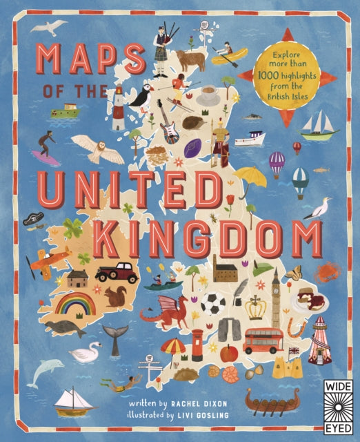
Take a tour around the counties of the UK with Maps of the United Kingdom, a beautifully illustrated atlas packed with interesting, historical and fun facts on quirky places to visit and influential people who hail from each of the UK's counties.

Tagged countries , maps and top pick

Read our review on justimagine.co.uk

The Maps and Atlases pack

Easy purchase - add our curated pack to your basket with one click

Maps and Atlases is a curated, easy-purchase pack of books introducing maps and mapping for primary schools. It is ideal for boosting library collections. You can purchase all books individually, and you may be interested in other books from extensive maps and atlases collection.
  • Martha Maps It Out
  • Africa, Amazing Africa: Country by Country
  • Maps of the United Kingdom
  • 80 Maps
  • Marvellous Maps

The United Kingdom pack

Easy purchase - add our curated pack to your basket with one click

United Kingdom is an easy-purchase curated pack of books to support this topic in KS1. Books can be purchased individually,

  • Coming to England
  • Maps of the United Kingdom
  • The Big Book of the UK
  • Wales
  • Scotland
  • The Story of London
  • The Mousehole Cat
  • Katie in Scotland
  • Edinburgh
  • Cardiff
  • Belfast
  • See Inside History Of Britain
  • InfoBuzz - United Kingdom
  • Katie In London
  • Rivers of the United Kingdom

The Maps and atlases set

A collection of children;s books on the topic Maps and Atlases.